Today two new maps created by Alan Robinson were added to the Simutrans Maps website. They represent the New Zealand North Island in two formats: 512×832 and 2048×3328. The required water levels are -2 and -8. The huge one is currently the largest Simutrans map available through the website.
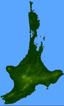
As Alan will tell you the maps are based on DTED level 0 data from data.geocomm.com
Links: